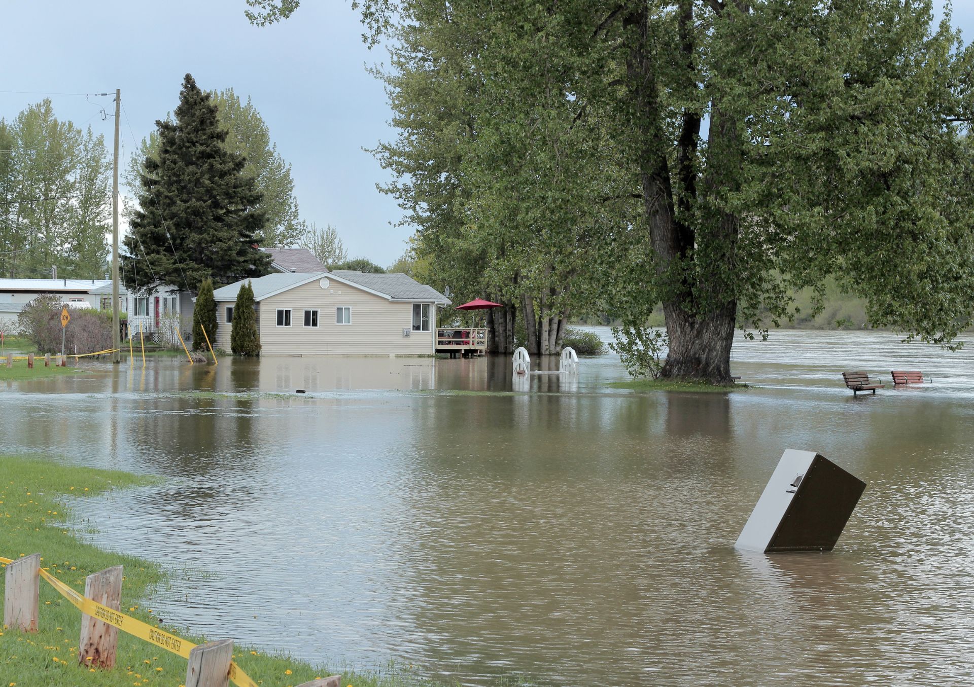
England has a varied flood risk profile, with some areas more prone to flooding than others. The risk of flooding is influenced by a range of factors, including geography, topography, climate, and land use.
In general, the areas most at risk of flooding in England are those located in low-lying coastal regions, such as the east coast of England and the Thames estuary, as well as areas adjacent to major rivers, such as the River Severn and the River Thames. These areas are particularly vulnerable to both river and coastal flooding, which can be exacerbated by storm surges and high tides.
Other factors that can increase the risk of flooding in England include heavy rainfall, urbanization, and land use changes. In urban areas, for example, increased amounts of hard surfaces such as concrete and tarmac can lead to faster runoff and less water absorption, increasing the likelihood of flash floods.
To mitigate the risks associated with flooding, the UK government has implemented a range of measures, including flood defences such as sea walls and flood barriers, improved river and coastal management, and increased investment in flood warning systems and emergency response capabilities. However, flooding remains a significant threat to many areas of England, and continued efforts are needed to protect people and property from its impacts.